SR-60 traffic cameras
54 live cameras on SR-60 in California, each image about a minute old.
Live now
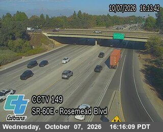 Rosemead BlvdSR-60
 West of Santa AnitaSR-60
 Fullerton RdSR-60
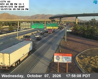 East of Main StreetSR-60
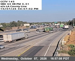 East of County LineSR-60
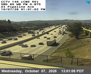 Pipeline AvenueSR-60
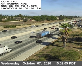 Ramona AvenueSR-60
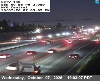 West of CentralSR-60
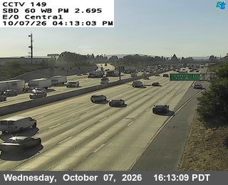 East of CentralSR-60
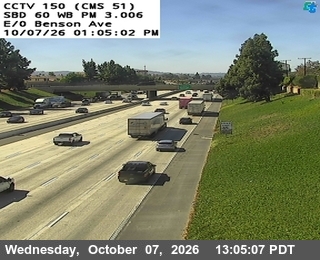 East of Benson AvenueSR-60
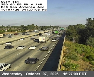 East of San AntonioSR-60
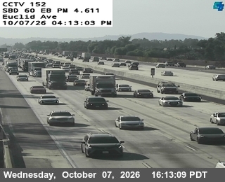 Euclid AvenueSR-60
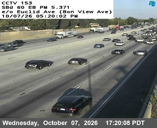 East of Euclid Avemue (Bon View Avenue)SR-60
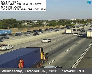 Grove AvenueSR-60
 West of Vineyard (Walker Avenue)SR-60
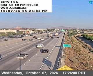 West of Archibald Avenue (Cucamonga Creek)SR-60
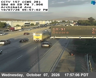 Archibald AvenueSR-60
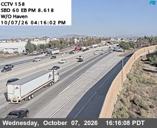 West of Haven AvenueSR-60
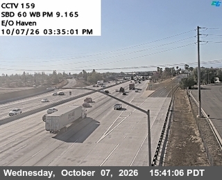 East of Haven AvenueSR-60
 MillikenSR-60
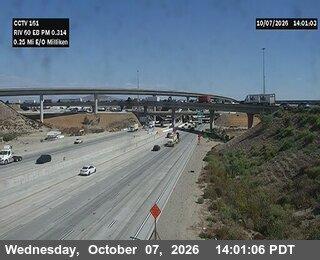 East of MillikenSR-60
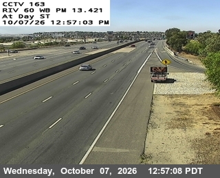 Day StreetSR-60
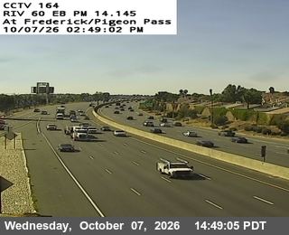 Frederick / Pigeon Pass RoadSR-60
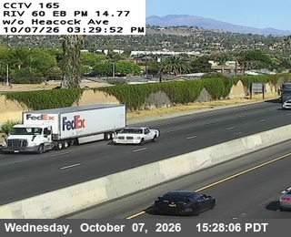 West of HeacockSR-60
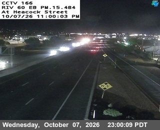 HeacockSR-60
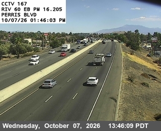 Perris BoulevardSR-60
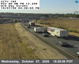 West Of Day StreetSR-60
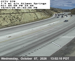 1.5 mi e/o Gilman SpringsSR-60
 3 mi e/o Gilman SpringsSR-60
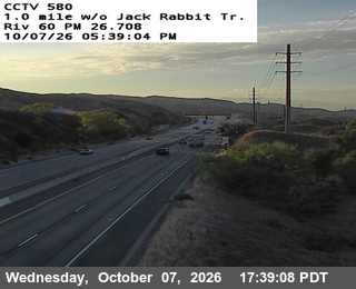 1 mi w/o Jack Rabbit TrailSR-60
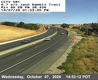 0.7 mi e/o Jack Rabbit TrailSR-60
 West of I-10 / SR-60SR-60
 EtiwandaSR-60
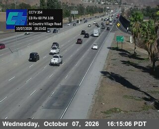 Country Village RoadSR-60
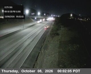 Offramp Pedley StreetSR-60
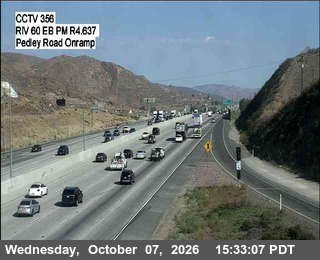 Onramp Pedley StreetSR-60
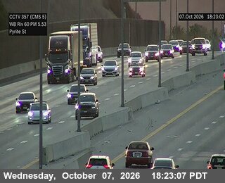 West of Pyrite StreetSR-60
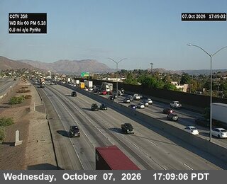 East of Camino RealSR-60
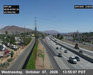 West of Valley WaySR-60
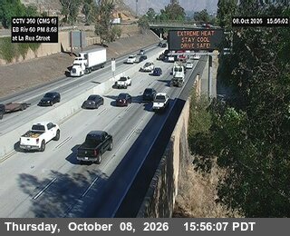 La Rue StreetSR-60
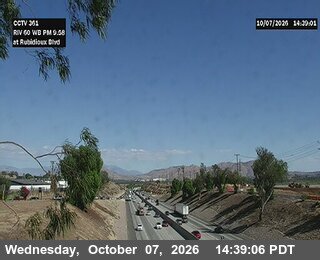 Rubidoux BoulevardSR-60
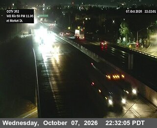 Market StreetSR-60
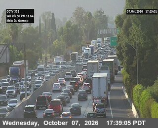 Main StreetSR-60
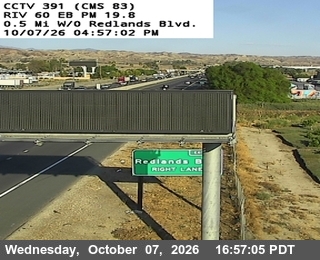 0.5 Mi west of Redlands BlvdSR-60
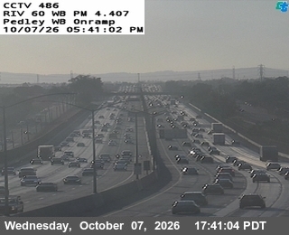 Pedley WB OnrampSR-60
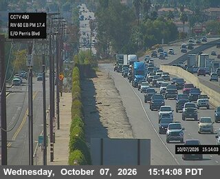 E/o Perris Blvd.SR-60
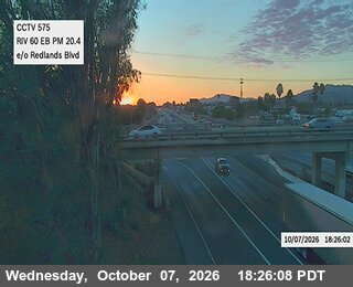 Redlands Blvd Ave.SR-60
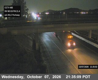 E/o WLC Pkwy/Thedore StSR-60
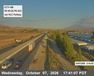 W/o WLC ParkwaySR-60
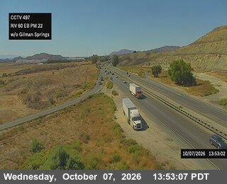 Gilman Springs Rd.SR-60
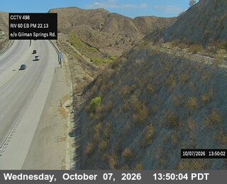 E/o Gilman Springs Rd.SR-60
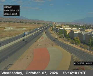 At Nason St.SR-60
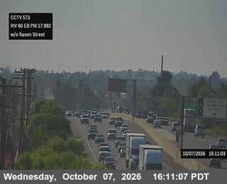 W/o Nason StreetSR-60
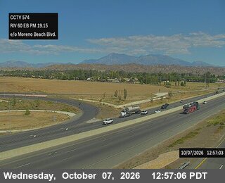 Moreno Beach BlvdSR-60
Images from Caltrans, refreshed about once a minute and kept by Roadtrip.
Check the road on the way
Roadtrip shows the cameras along your route, in the order you'll pass them.


Rated 4.7 by drivers · 700,000 downloads